
Salt River
|
The Salt River flows down from Roosevelt Lake through a series of reservoirs to and through the city of Phoenix.
See the locations where I photographed the Salt River and Saguaro Lake on February 18, 2011 in Google Earth.
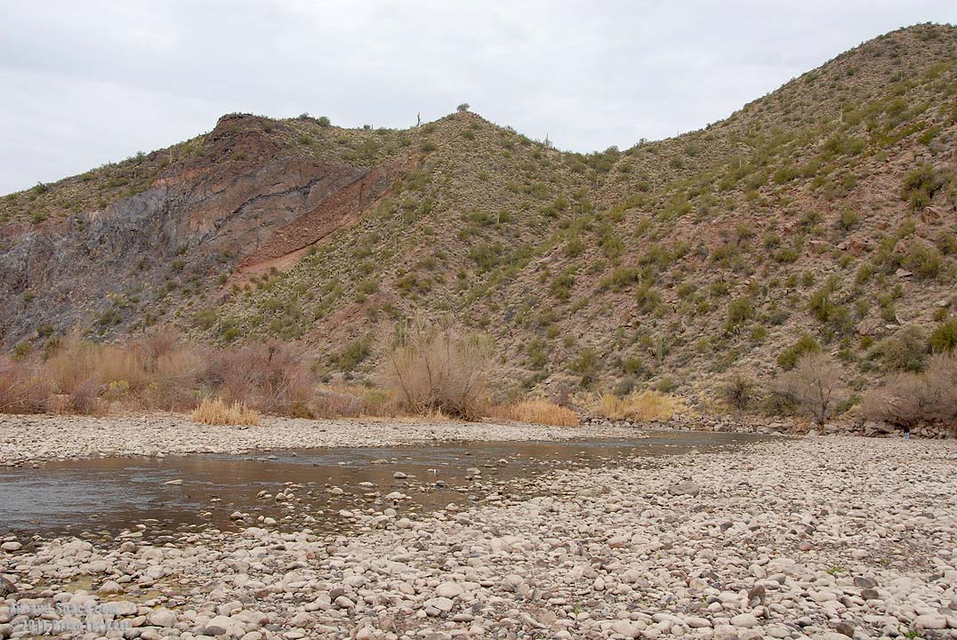 The Salt River is running low downstream of the Stewart Mountain Dam at Blue Point.
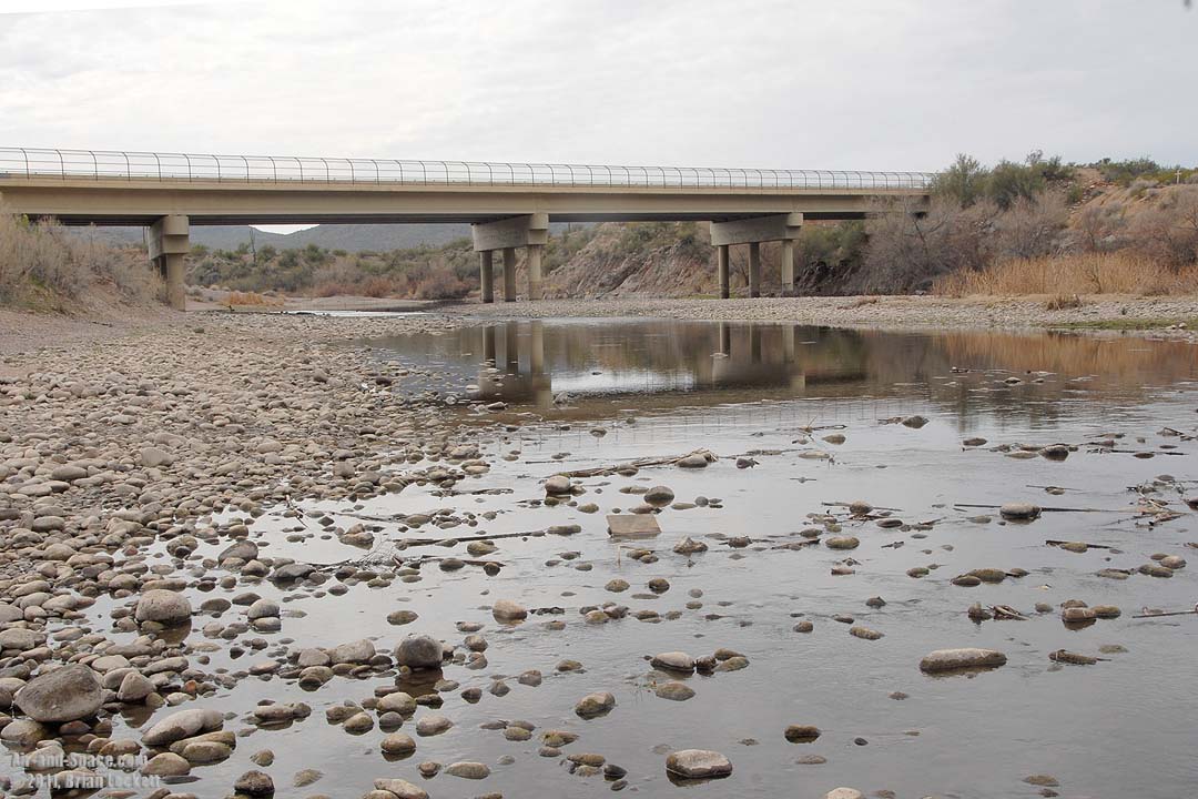 Bush Highway crosses the Salt River in Bulldog Canyon.
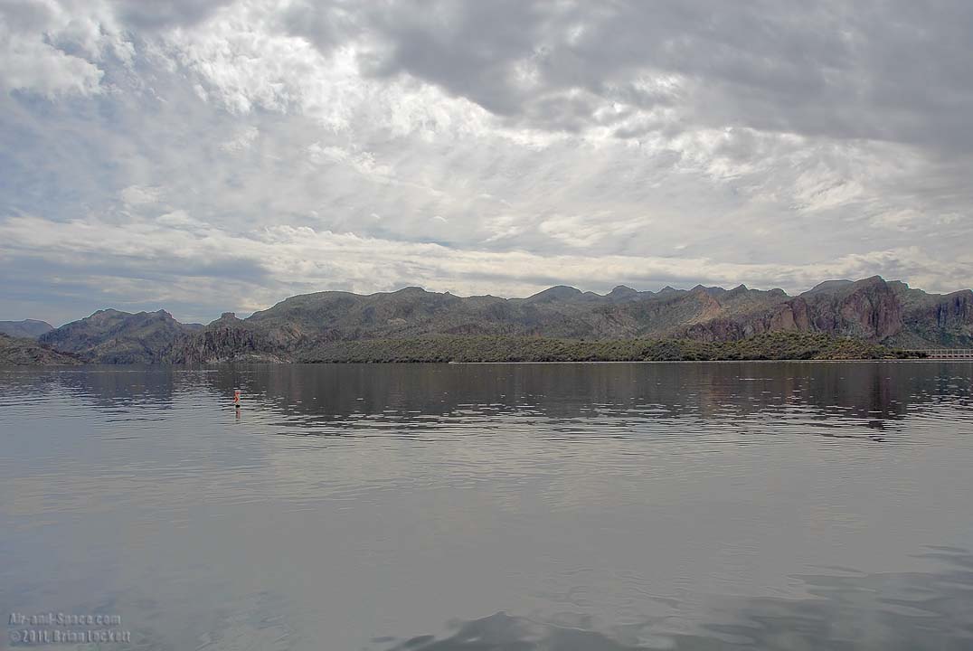 The water level in Saguaro Lake is at its maximum.
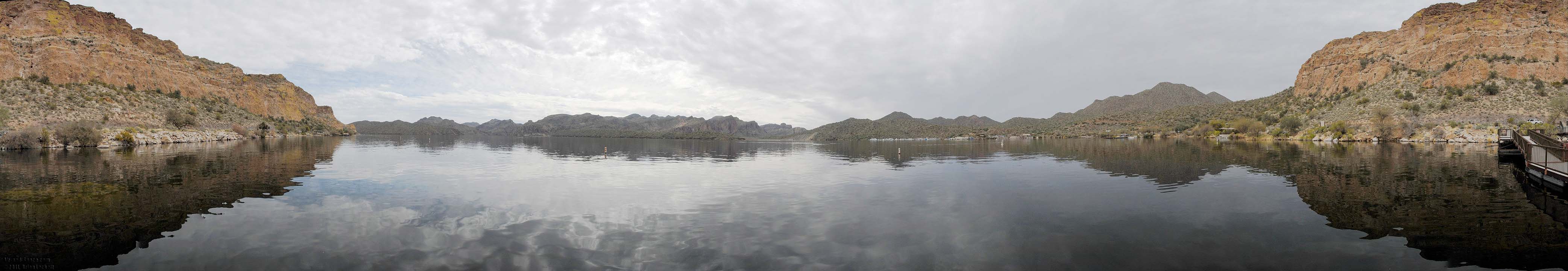 Saguaro Lake panorama
 Mount McDowell as seen from Granite Reef, downstream of the confluence of the Salt and Verde Rivers. Mount McDowell is popularly known as Red Mountain. Arizona Dam Butte is to the right.
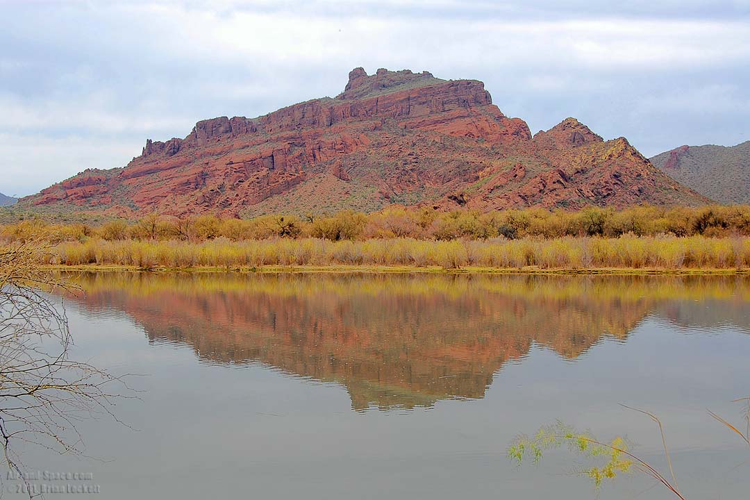 Mount McDowell
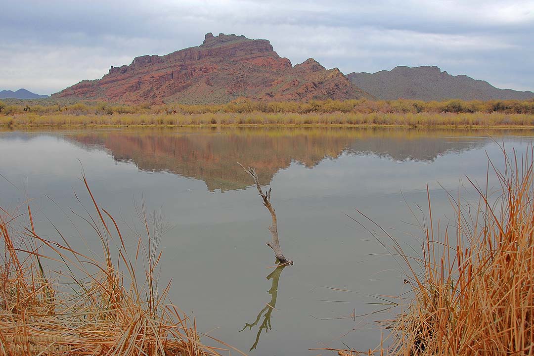 Mount McDowell
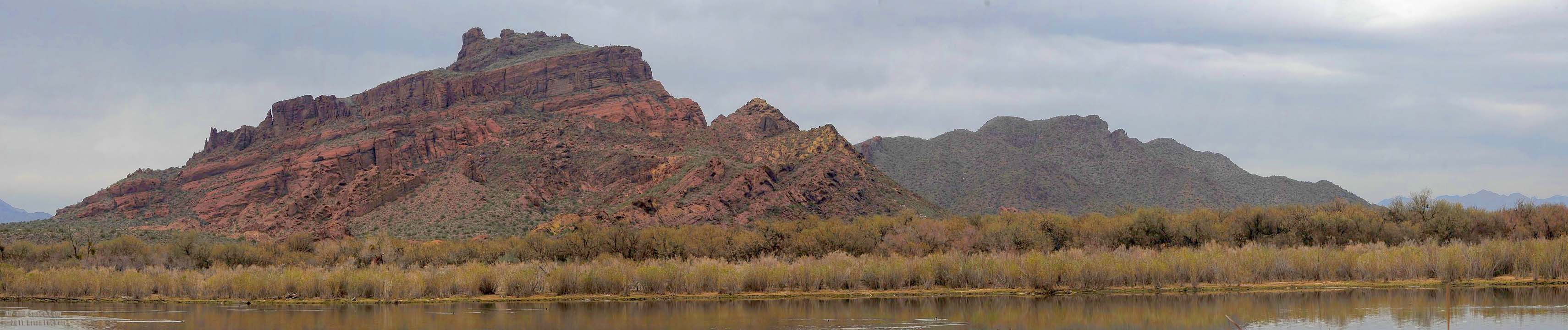 Mount McDowell
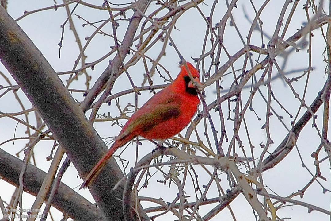 A male Cardinal perches in a tree at Granite Reef.
Send a message to Brian.